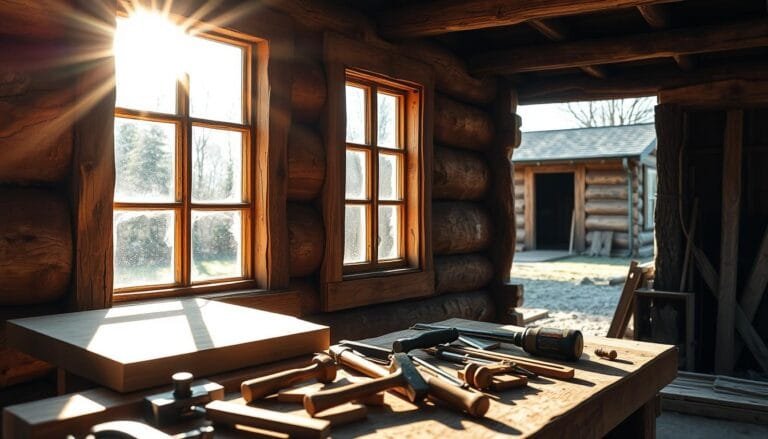
How to Build Cabin Windows with Minimal Cost
Did you know upgrading old windows can be cheaper than getting new ones? It also makes your home more energy-efficient. This tip comes from Scott Sidler, a window expert. He says DIY cabin windows are a great choice for those watching their budget. This guide will show you how to make windows on the cheap. […]