
Using Topographic Maps to Assess Flood Risk
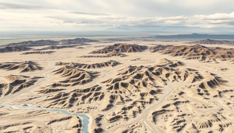
Did you know 750 communities in Ohio depend on FEMA’s flood maps? Topographic maps are key in assessing flood risk. They offer vital elevation data, helping keep homes and communities safe. Topographic maps show an area’s terrain, helping spot flood-prone zones. They help planners and emergency teams prepare for floods. These maps are essential for